
Probably the most famous of the early maps of the town.
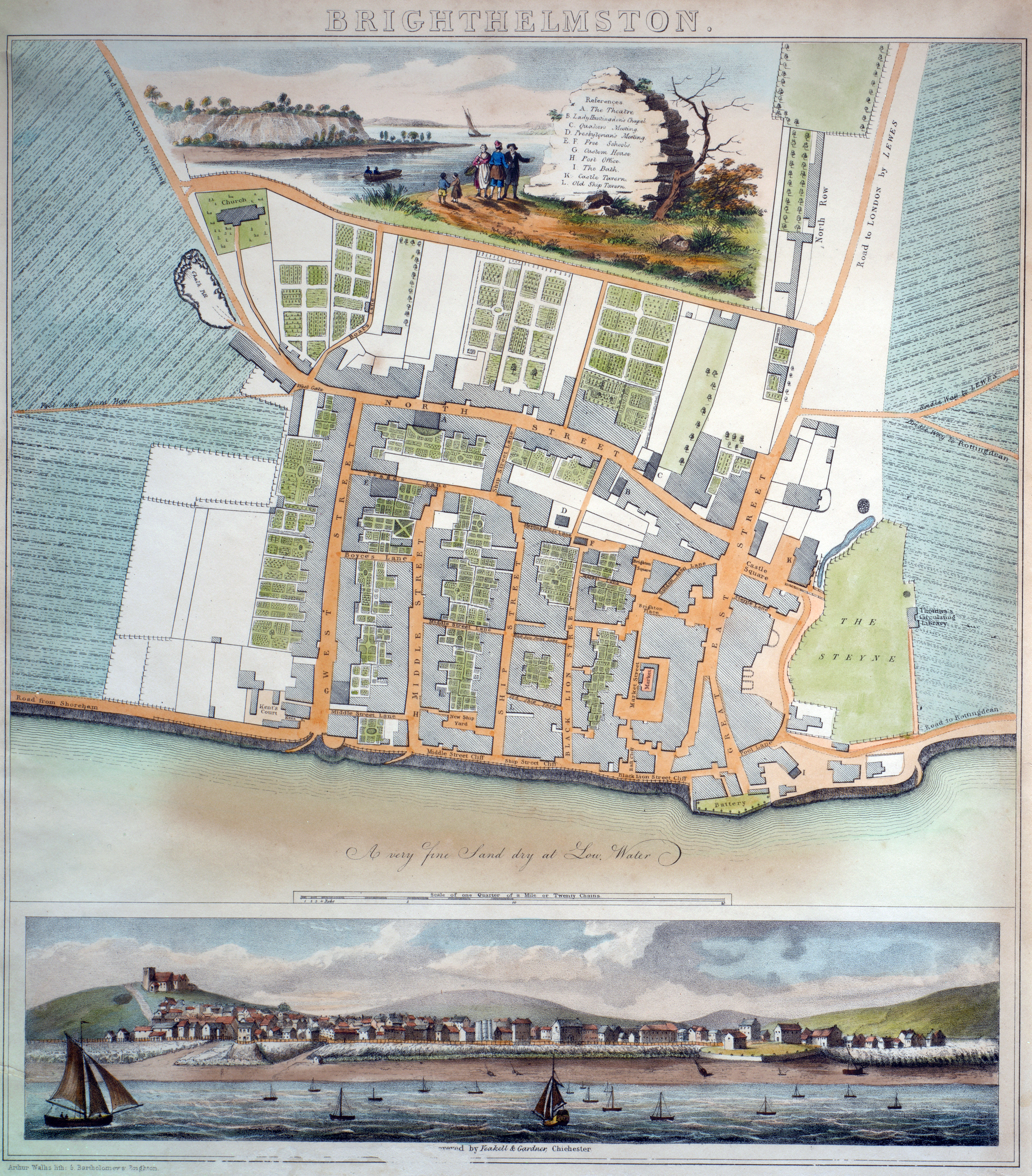
To enlarge, click on the map (opens in new window).
Source: Brighton & Hove Museums
In 1758 Charles Lennox, the 3rd Duke of Richmond, employed a young Dutch surveyor called Thomas Yeakell (c1740-1787) to map his extensive estates at Goodwood in West Sussex and arranged for him to be trained by the leading mathematics professor at the Royal Military Academy to the highest standards. After four years Lennox employed a second surveyor to work with Yeakell. But James Sampson needed money for his lifestyle and stole from his employer. ending on the gallows at Tyburn in 1768. His replacement was a 24-year-old called William Gardner (1743-1800).
After completing work at Goodwood, Yeakell and Gardner set about mapping the whole of Sussex on a scale of two inches to the mile. Yeakell was appointed Chief Surveying Draightsman of the Board Of Ordnance in 1784 but died young in 1787; Gardner replaced him. In 1791, the Ordnance Survey was formally established and in 1795, with the basic triangulation of the country—the 'Topograpical Survey'—as its basis, a secondary triangulation in greater detail on a scale of six inches to the mile, the 'Interior Survey', was begun with Gardner as its director.