
Published by G & J Cary in Cary's New Itinerary
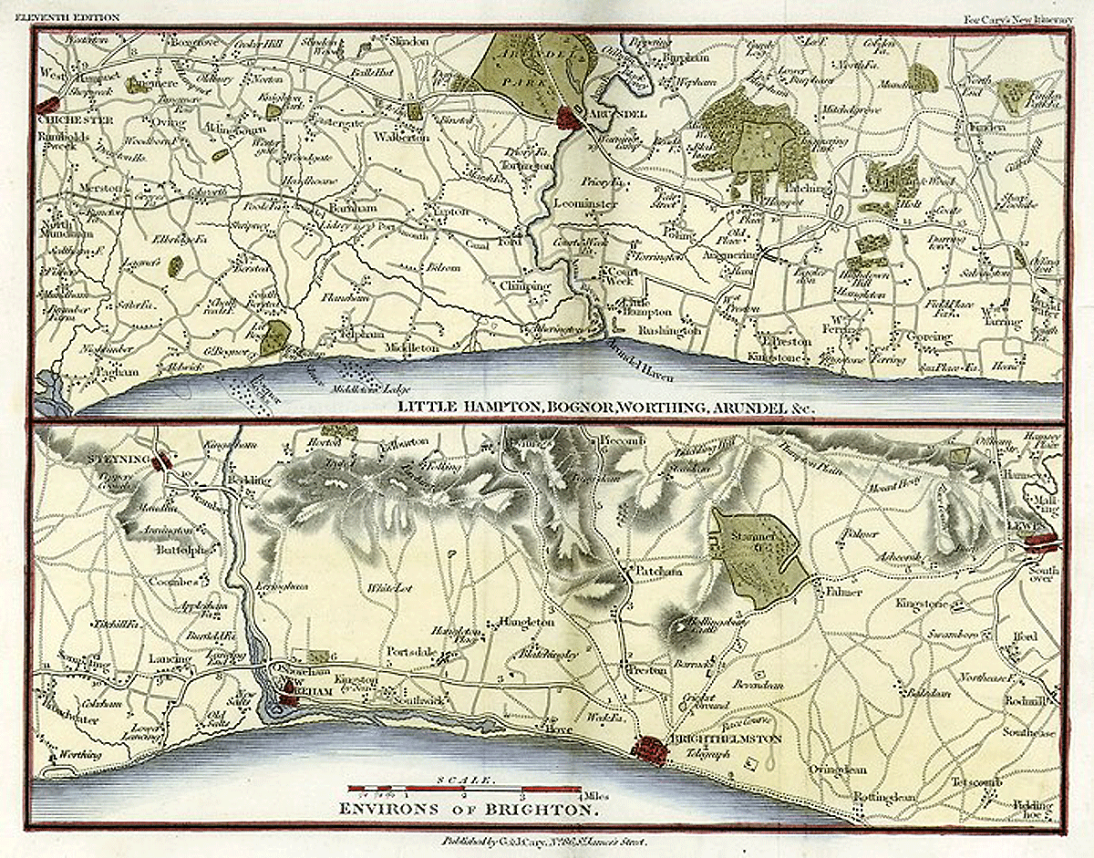
To enlarge, click on the map (opens in new window).
John Cary was a civilian cartographer at a time when the military was most involved. He worked on a scale of one inch to five miles and his maps were intended to show mainly routes between settlements and are otherwise not very accurate (eg, Portsdale for Portslade); indeed some of the roads are questionable. His maps became useful, faute de mieux, in the 1790s, when the fear of a French invasion was heightened and they showed the vulnerable southern coast. On this 11th-edition map development around the centre of Brighton, especially to the east, is not indicated. Note the telegraph station (see Telegraph Street)—an indicator of its military application.